


Newsletter Subscribe
Enter your email address below and subscribe to our newsletter
Enter your email address below and subscribe to our newsletter
All voices matter
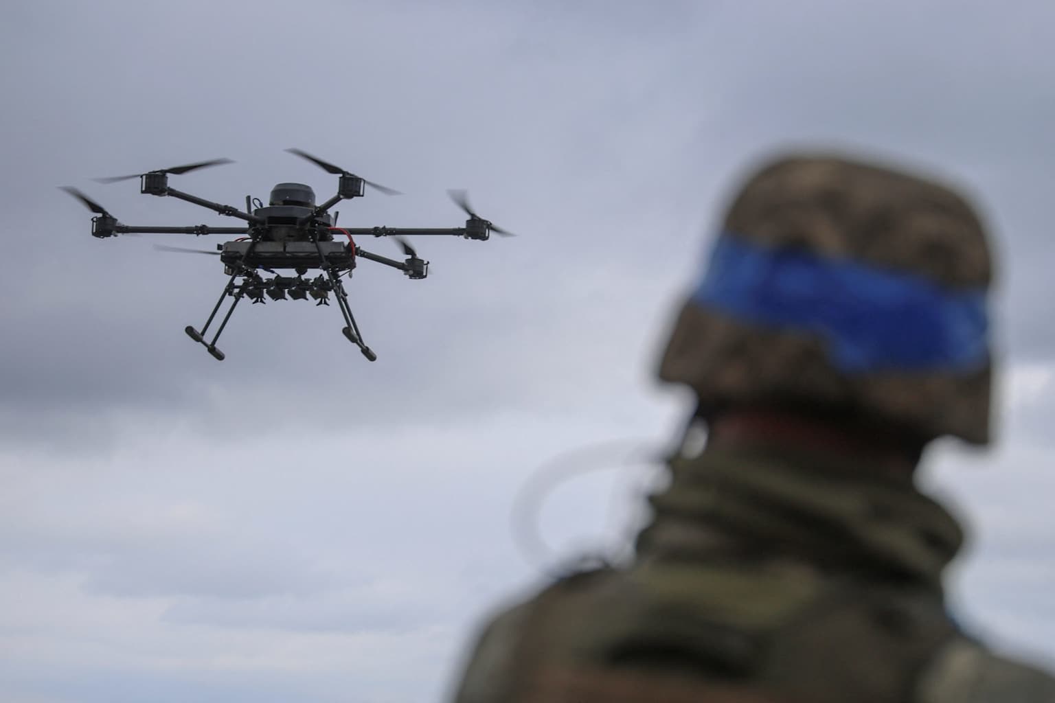
Ukrainian forces have dramatically accelerated their ability to locate and destroy Russian military assets by receiving near-real-time commercial satellite imagery directly on drone operators’ devices, according to an exclusive report by The Wall Street Journal published on Thursday.linkedin
Over the past six months, images from satellites operated by Colorado-based Vantor have been delivered to Ukrainian soldiers’ screens within 15 minutes of capture, reducing the time between target detection and strike by 90%. Previously, intelligence data underwent centralized verification that could delay transmission by hours or even days.ua
The Journal reported that this marks the first known instance in which unclassified commercial satellite imagery has been sent directly to soldiers for real-time combat decision-making. The system was implemented through a collaboration between Vantor, Dutch company Bravo1Alpha, American firm Persistent Systems, and Ukrainian defense company Bureviy.linkedin
Vantor, formerly known as Maxar Intelligence, is based in Westminster, Colorado, and specializes in spatial intelligence and Earth observation. The same satellites used for battlefield targeting also serve civilian purposes including monitoring illegal fishing, observing infrastructure, and updating mapping services.ua
The rapid receipt of satellite data has helped Ukrainian forces identify Russian targets more quickly and strike them before they can relocate, which has become a factor in deterring Russian offensive operations in certain front-line sectors.ua
The development comes after a turbulent period for Ukraine’s access to satellite intelligence. In March 2025, the U.S. government suspended Ukrainian access to imagery purchased through the Global Enhanced GEOINT Delivery system following a broader pause in intelligence sharing. However, commercial channels for purchasing satellite imagery remained open, and the Vantor partnership appears to have provided an alternative route for battlefield intelligence.abcnews